A town with river and forest roots
Totton grew up around shipbuilding on the River Test and still sits right on the edge of the New Forest, which shapes both the landscape and the housing around it. The wider area, known administratively as Totton and Eling, has a population of around twenty-nine thousand, making it by far the largest settlement in the New Forest district despite the council itself being based in Lyndhurst.
Planning here sits with New Forest District Council
Most of the built-up part of Totton falls under New Forest District Council rather than the New Forest National Park Authority, since the National Park boundary runs further out toward villages like Copythorne. That means standard permitted development rules generally apply, though it's still worth checking your specific address.
Estate housing and typical plot sizes
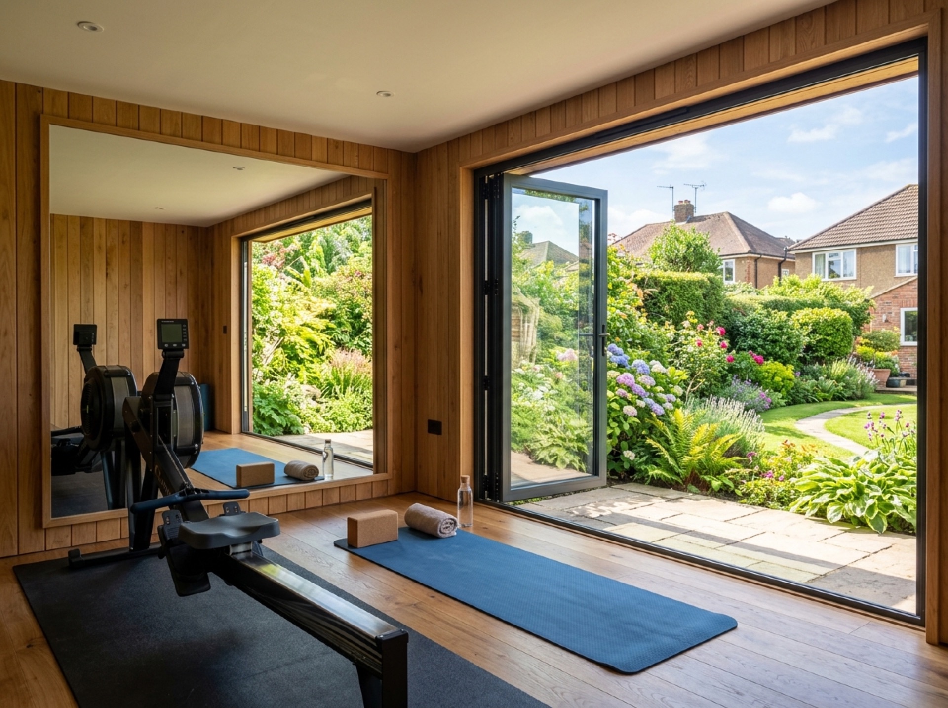
A lot of housing in and around Totton dates from mid- to late-twentieth-century estate development, which tends to mean fairly regular, rectangular back gardens — generally straightforward for siting a garden room, though fence lines and shared boundaries with neighbours are still worth checking before finalising a footprint.
Frequently asked questions
Which council handles planning for Totton?+
New Forest District Council covers the built-up area of Totton and Eling for planning purposes, separate from the New Forest National Park Authority, which covers land further into the Forest.
Is Totton within the New Forest National Park?+
Only part of the wider Totton and Eling parish touches the Park boundary — the main built-up area of the town itself generally sits outside it, though it's worth confirming your exact address.
How far is Totton from Romsey?+
It's roughly five miles, making it a short trip for a local installer who already covers the wider Test Valley and New Forest area.
Nearby areas
Services
Useful local links
- Test Valley Borough Council — Planning Permission and Pre-Application Advice — The local planning authority for Romsey and most of the surrounding villages covered by this site.
- New Forest District Council — Planning Guidance for Householders — Covers Totton, Testwood and Calmore for planning purposes.
- Southampton City Council — Planning Permission — The separate unitary authority covering the city of Southampton.
- New Forest National Park Authority — Planning — The local planning authority for land within the New Forest National Park, including Copythorne and Newbridge.
- Planning Portal — Outbuildings — National guidance on permitted development for garden buildings.