A market town built along one street
Stockbridge grew up along what was simply known as 'The Street' for much of its history, a single long, wide high street rather than a conventional town centre. Several channels of the River Test still run beneath parts of that street, and trout can be seen from the pavement in places.
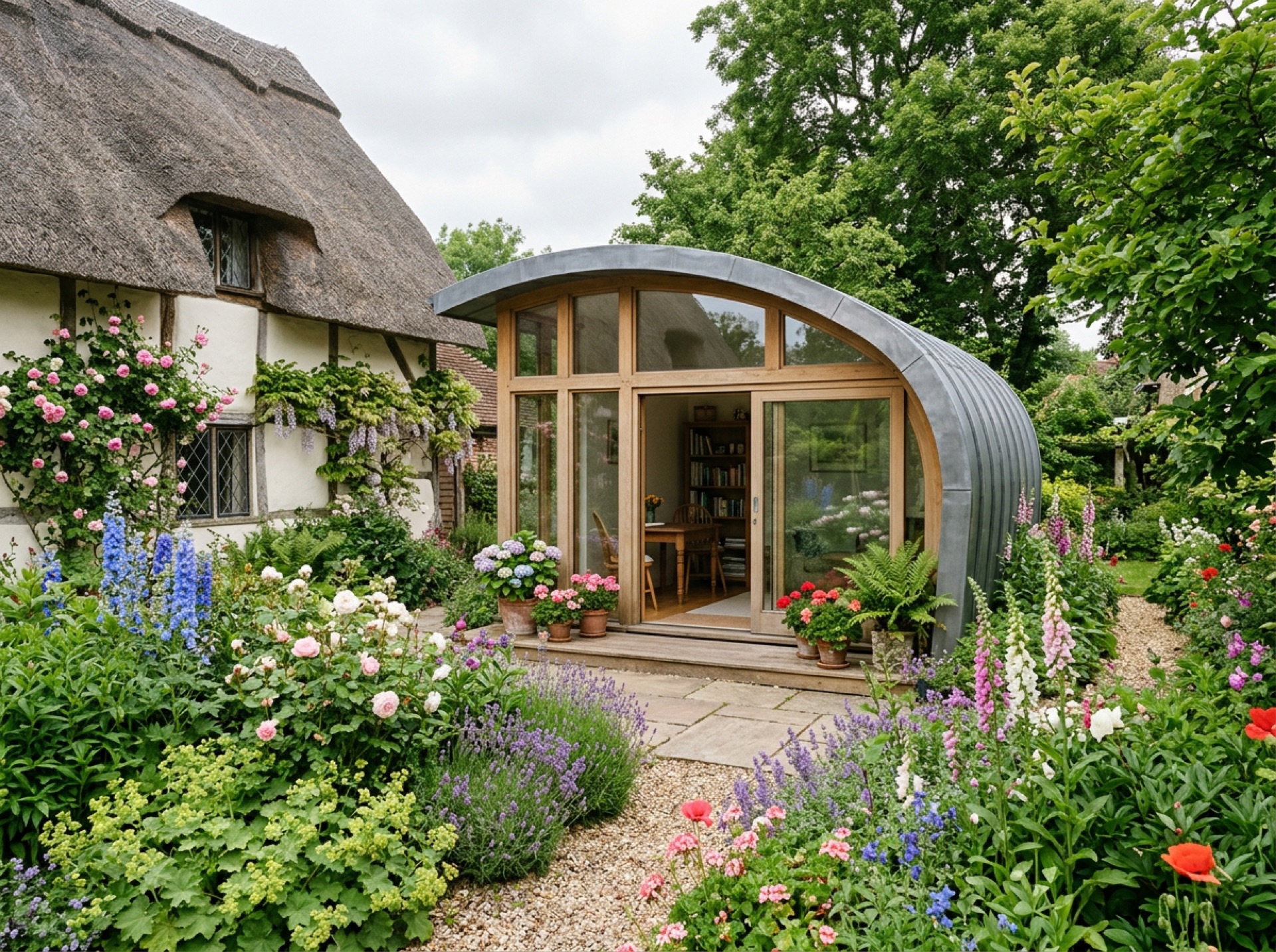
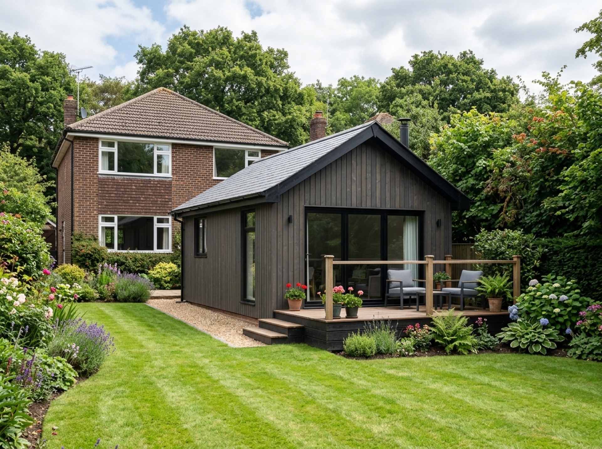
That layout means many of the properties directly on the high street have limited garden depth behind them, while houses set back from the centre tend to have more usable space for a stand-alone garden building.
Test Valley Borough Council and a designated conservation area
Stockbridge falls under Test Valley Borough Council, the same authority that covers Romsey, and the town itself is one of several dozen conservation areas the council has designated across the borough. That generally narrows permitted development allowances for outbuildings compared with a plot outside a conservation area.
Because the whole historic core is covered, it's worth checking with the council early rather than assuming a garden room here will automatically fall under the same rules as a modern estate a few miles away.
A market town that lost its market
Stockbridge was historically a parliamentary borough, and its market lapsed after the town's population was hit hard by plague — leaving a town that still has the physical footprint of a market centre without the market itself. That history is part of what gives the high street its unusually generous width today.
Frequently asked questions
Is Stockbridge inside a conservation area?+
Yes — the historic centre of Stockbridge is a designated conservation area under Test Valley Borough Council, which generally reduces the standard permitted development allowance for outbuildings.
How far is Stockbridge from Romsey?+
It's a little under nine miles north-west of Romsey, well within range of a local installer covering the wider Test Valley area.
Nearby areas
Services
Useful local links
- Test Valley Borough Council — Planning Permission and Pre-Application Advice — The local planning authority for Romsey and most of the surrounding villages covered by this site.
- New Forest District Council — Planning Guidance for Householders — Covers Totton, Testwood and Calmore for planning purposes.
- Southampton City Council — Planning Permission — The separate unitary authority covering the city of Southampton.
- New Forest National Park Authority — Planning — The local planning authority for land within the New Forest National Park, including Copythorne and Newbridge.
- Planning Portal — Outbuildings — National guidance on permitted development for garden buildings.