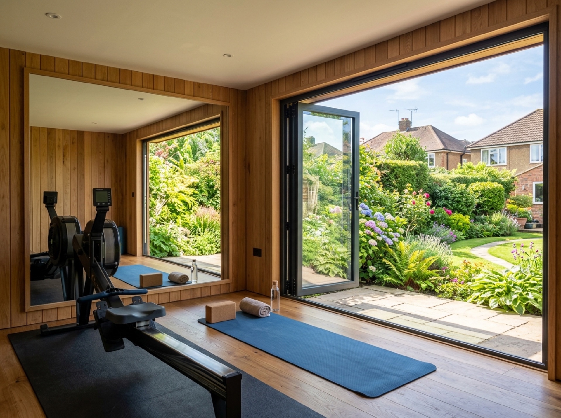
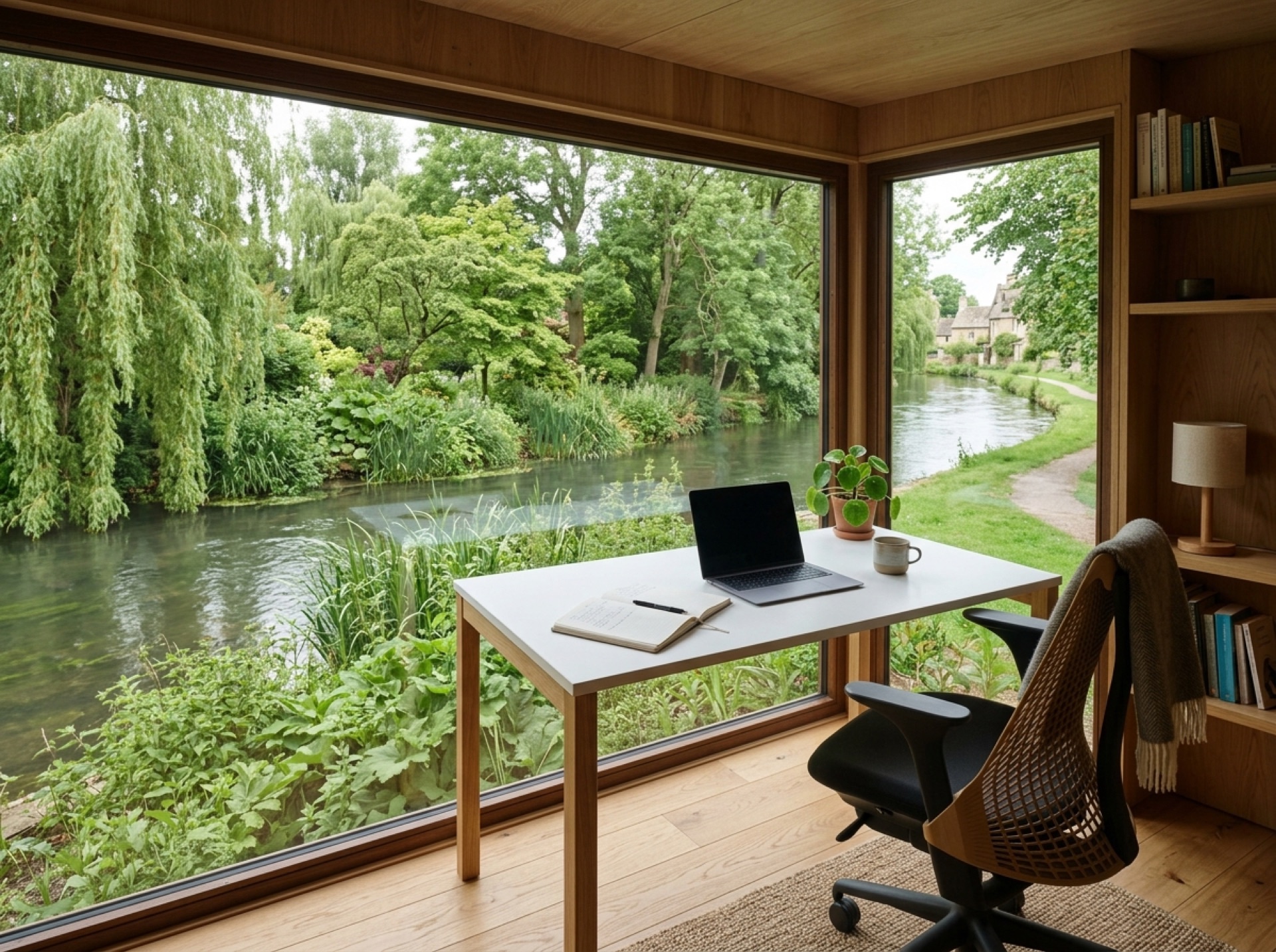
A mid-century residential development
Hillyfields was developed from around 1960 as part of the wider residential growth of the Nursling area, sitting within the SO16 postcode district on the edge of Southampton's built-up area. Its housing is generally more uniform in age than the older villages nearby, which tends to mean more consistent garden shapes street to street.
Same council as its neighbours
Hillyfields sits within the Nursling and Rownhams civil parish and is covered by Test Valley Borough Council for planning, the same authority as Nursling and Rownhams themselves.
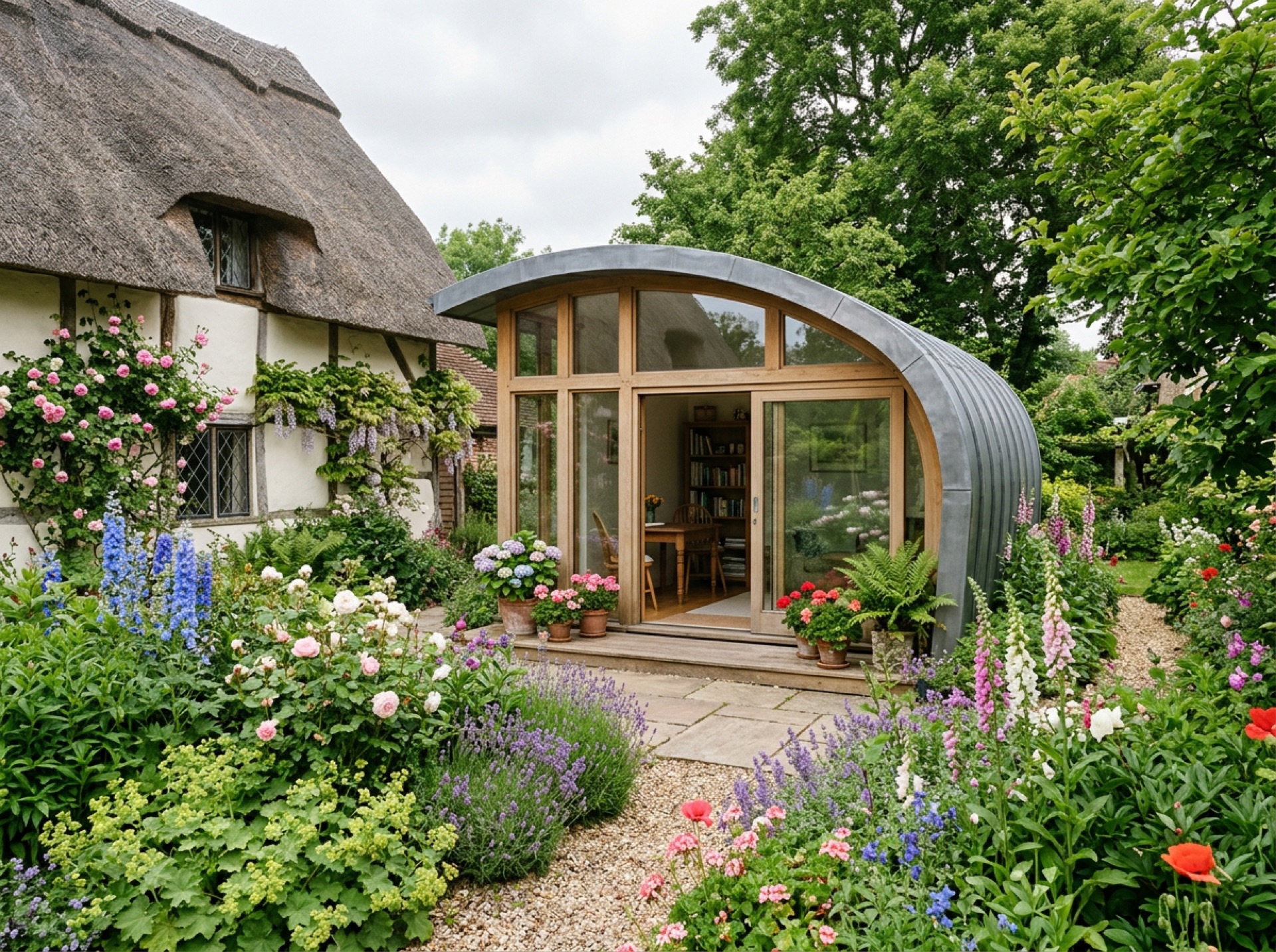
A quieter corner close to bigger neighbours
Being tucked in among larger, better-known places like Nursling, Rownhams and the edge of Southampton, Hillyfields is a smaller and quieter area, but it sits well within range of a local installer who already covers the wider parish.
Frequently asked questions
Which parish is Hillyfields part of?+
Hillyfields sits within the Nursling and Rownhams civil parish, under Test Valley Borough Council.
Is Hillyfields part of Southampton?+
No — despite being close to the city and sharing an SO16 postcode, Hillyfields remains administratively part of Test Valley rather than the city of Southampton.
Nearby areas
Services
Useful local links
- Test Valley Borough Council — Planning Permission and Pre-Application Advice — The local planning authority for Romsey and most of the surrounding villages covered by this site.
- New Forest District Council — Planning Guidance for Householders — Covers Totton, Testwood and Calmore for planning purposes.
- Southampton City Council — Planning Permission — The separate unitary authority covering the city of Southampton.
- New Forest National Park Authority — Planning — The local planning authority for land within the New Forest National Park, including Copythorne and Newbridge.
- Planning Portal — Outbuildings — National guidance on permitted development for garden buildings.