A conservation area on the water's edge
Eling sits on the Bartley Water estuary, separated from Totton by a historic causeway carrying a working toll bridge. The village is a designated conservation area, set up in part to stop the built-up edge of Totton and Hounsdown encroaching on its historic core, and it contains several buildings with the highest level of listed status.
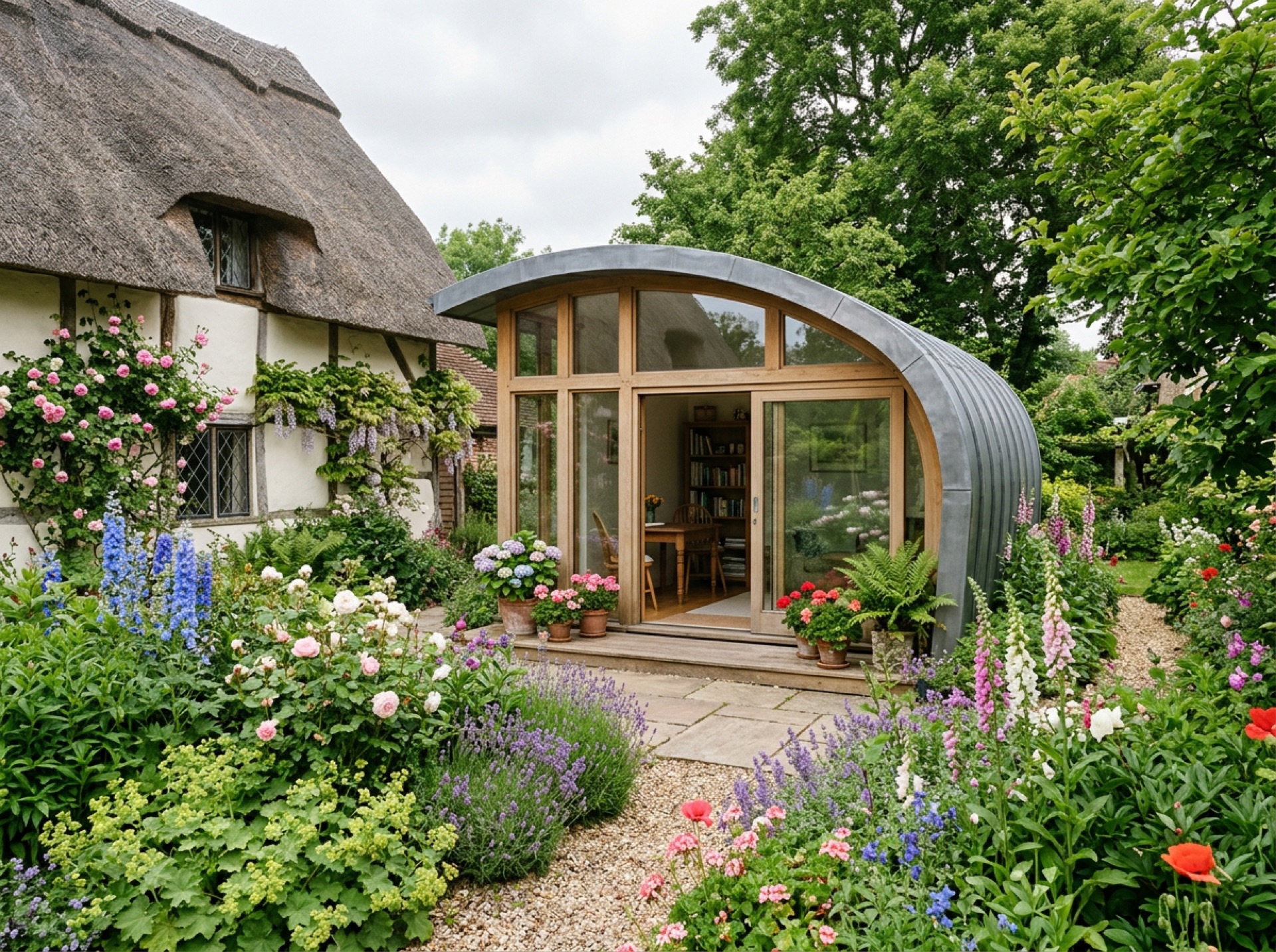
That level of protection means permitted development allowances for outbuildings including garden rooms are generally more limited here than in the newer parts of Totton just across the causeway.
Home to one of only two working tide mills in the country
Eling Tide Mill uses the rise and fall of the estuary itself to turn its wheel, and a mill has stood on the site since at least the Domesday survey. The current building was bought by the council in the 1970s and reopened to the public shortly after — one of just two tide mills still working anywhere in the UK.
New Forest District Council covers planning
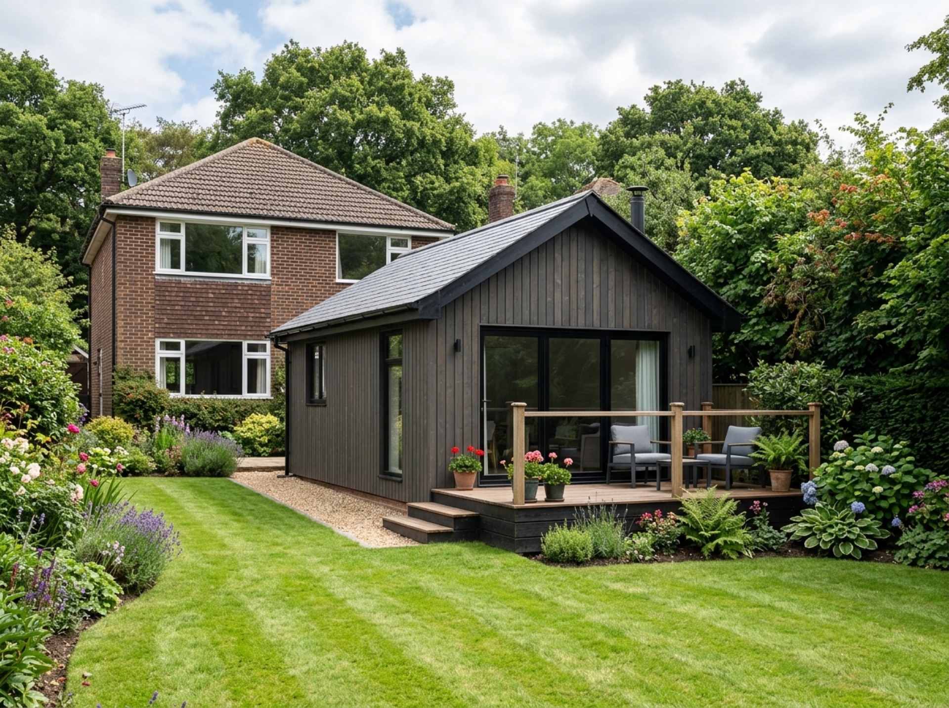
Eling falls within the Totton and Eling civil parish, under New Forest District Council, outside the New Forest National Park boundary. Given the conservation area covering the village, it's worth checking with the council's conservation team specifically, rather than assuming standard permitted development rules apply in full.
Frequently asked questions
Is Eling a conservation area?+
Yes — the historic core of Eling is a designated conservation area under New Forest District Council, which generally reduces the standard permitted development allowance for outbuildings.
Is Eling part of Totton?+
It's within the same Totton and Eling civil parish, but Eling is a separate historic village on the estuary, divided from the built-up part of Totton by a causeway and toll bridge.
Nearby areas
Services
Useful local links
- Test Valley Borough Council — Planning Permission and Pre-Application Advice — The local planning authority for Romsey and most of the surrounding villages covered by this site.
- New Forest District Council — Planning Guidance for Householders — Covers Totton, Testwood and Calmore for planning purposes.
- Southampton City Council — Planning Permission — The separate unitary authority covering the city of Southampton.
- New Forest National Park Authority — Planning — The local planning authority for land within the New Forest National Park, including Copythorne and Newbridge.
- Planning Portal — Outbuildings — National guidance on permitted development for garden buildings.